Technical Session
HD Mapping Theme: Achieving immersive details for autonomous machines
16 May 2024 // 90 Minutes program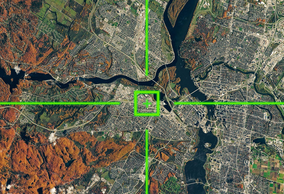
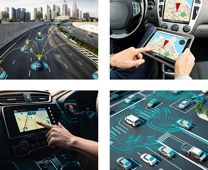
High-Definition (HD) mapping is a crucial driver of economic advancement as it revolutionizes industries reliant on precise geospatial information. From autonomous vehicles to urban planning and logistics, HD mapping ensures accurate navigation and decision-making. Its applications in smart cities, disaster response, and infrastructure development advance sustainable growth.
The conference offers a unique platform to explore cutting-edge technologies, industry trends, and collaborative opportunities. Attendees gain insights into the latest mapping innovations, network with experts, and understand how HD mapping is reshaping economies globally. In a world increasingly dependent on spatial intelligence, participate in this monumental conference orchestrating technology synchronization in the HD Mapping sphere.

Researcher
German Aerospace Center (DLR)
Germany
Michael Scholz studied geoinformatics in Munster, Germany, and works as a researcher at the Institute of Transportation Systems of the German Aerospace Center since 2012. His daily work involves taming of heterogeneous geodata to be used in applications of driving simulation and autonomous driving, making OpenDRIVE a core component of his personality. He calls himself an Open Geodata and Open Source Evangelist and is keen on bringing the domains of GIS and transportation engineering closer together. Apart from that he likes to be roaming around on boundary-less gravel roads of far and foreign countries.

Secretary General
EAASI (European Association of Aerial Surveying Industries)
Spain

Director, Content & Product Marketing
Ecopia AI
USA
Briana is a geographer specializing in data content, storytelling, and visualization. With eight years of experience in the geospatial industry, she has undertaken various roles, ranging from GIS analyst to product manager. Currently, she serves as the Director of Content & Product Marketing at Ecopia AI. In this capacity, Briana defines the go-to-market strategy for Ecopia's AI-powered mapping products, developing thought leadership and technical content to communicate the value of GIS within the global community.
Briana's distinctive blend of geospatial analysis and writing skills enables her to craft compelling content that highlights the potential of geospatial technology for critical applications in climate resilience, business planning, humanitarian operations, and social justice. Beyond her professional roles, she has volunteered her geospatial expertise with the United Nations Humanitarian Data Exchange and has contributed to the development of GIS training manuals for Catholic Relief Services' humanitarian efforts in Madagascar.
Throughout her career, Briana has held full-time positions at Esri, Precisely, and SafeGraph. She has contributed to mapping projects featured in various press outlets, including Bloomberg, Geospatial World, and GIM. Additionally, she has provided consulting services for various geospatial companies and delivered guest lectures for university GIS programs. Briana holds a master's degree in GIS from Penn State University and a bachelor's degree in Geography from Villanova University.
Missed the Abstract Submission Deadline? No Worries! It's not too late to be a part of this transformative event. Reach out to us at papers@geospatialworldforum.org.