Technical Session
LiDAR Theme: Precision And Accuracy Delivering Specific Prospects
15 May 2024 // 90 Minutes program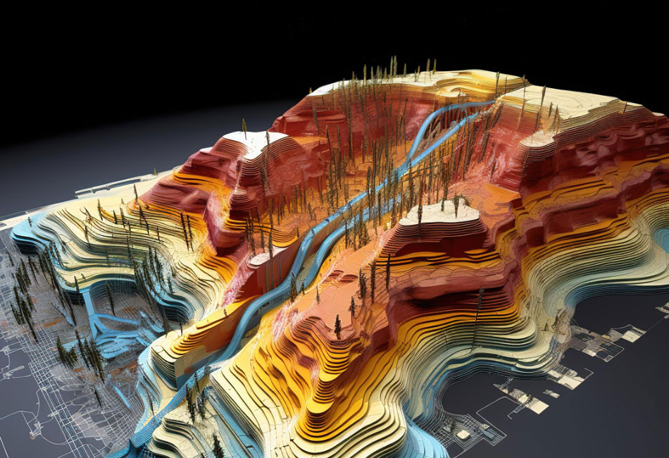
Surface features, topology, dimensional information advantage is fulfilled by LiDAR. Airborne LiDAR scanners have seen exponential use in diverse fields with LiDAR drones catching up. Work from Research to industrial, LiDAR has been made flexible and has gained accuracy and ease in application through software processing. How is LiDAR data helping and where? Why must LiDAR be a sought technology?
LiDAR technology is significantly uplifting world economies by revolutionizing data acquisition and analysis across various industries. Its applications span urban planning, infrastructure development, and environmental management. In construction and engineering, LiDAR enables precise mapping and monitoring, reducing project timelines and costs. In agriculture, it enhances precision farming practices, optimizing resource use. LiDAR is crucial for autonomous vehicles, supporting advancements in transportation. Moreover, in forestry and natural resource management, LiDAR aids in efficient resource assessment and conservation. These diverse applications ignite innovation, and bring about economic growth, and sustainability, showcasing LiDAR's transformative impact on economies globally. Nations are harnessing their capabilities for informed decision-making and the development of resilient, forward-thinking industries.
The summit will bring together participants from the technology community to demonstrate investment opportunities and highlight case studies of high-impact, profitable and sustainable in the LiDAR market.

Business Development
TopoDOT
Portugal
Filipe Pinto, a dedicated TopoDOT consultant and Sales Manager, brings a wealth of expertise and enthusiasm for geotechnology and geosciences. Holding a degree in Surveyor Engineering and a Master's Degree in Science and Geographic Information Systems, Filipe has accumulated 14 years of experience in laser scanning, mobile mapping, reality modeling, surveying, drones, LiDAR, 360° imagery, 3D mapping, and GIS. With a robust background collaborating with public organizations and AEC companies across Europe and Latin America, Filipe has played a pivotal role in diverse projects involving reality capture and modeling. In his current role at TopoDOT, Filipe is passionately dedicated to promoting and implementing TopoDOT solutions worldwide, helping AEC companies enhance their workflows and accelerate project delivery through the efficient management, analysis, and sharing of 3D data. Filipe is committed to assisting users in building accurate Digital Twins by leveraging the power of TopoDOT's comprehensive workflow and facilitating the integration of data from various sensors and systems.

Project Manager
PHOTOMAP
Slovakia

Manager, Strategic Software Alliances
RIEGL
Austria

Senior Sales Support Manager
Terrasolid
Finland
Missed the Abstract Submission Deadline? No Worries! It's not too late to be a part of this transformative event. Reach out to us at papers@geospatialworldforum.org.